The southern Indian State of Kerala has been blanketed by floods over the past few weeks and has experienced their heaviest rainfall in almost 100 years 1. While India receives monsoon rains every summer, rainfall totals in Kerala this year, have been almost 37 percent higher than last year 2.
“Having colleagues here in Maryland who have been affected by major flood events, and having worked on Hurricane Katrina, and now with friends back in India facing many of the same challenges, this hits home” says VPC President, and Disaster Planner, Deepa Srinivasan.

The number of people affected from the flood events range from 220,000 3 to over 1 million people in evacuation camps since the flooding began in the beginning of August 4. Additionally, power outages, overwhelmed emergency and medical services, and the closing of the international airport have brought the region to a standstill. If all of this sounds reminiscent of a major flood event in the U.S., it is, because there are many parallels that can be drawn.
First, Kerala is an already low-lying, coastal, fishing and tourism-based region. A network of rivers and canals cut through the area, which is supported by over 80 dams. Kerala’s history of European trade and colonization draws some similarities to parts of Louisiana - low-lying U.S. coastal fishing communities with rich European history, that have experienced major flooding events. The harbor in the coastal City of Kochi, which allowed the trade industry to flourish, was carved out by a documented flood event over 600 years ago. In the State of Kerala, and in many U.S. coastal cities, the natural marshes and wetlands that once protected these coastal cities from flood events, have been drained or filled as a result of rapid development and urbanization 5. The most common concerns heard with respect to the handling of the Kerala floods include: lack of early warning; mismanagement of the dam system protecting the area; and availability of evacuation assistance; all of which were major concerns during Hurricane Katrina.
"Having colleagues here in Maryland who have been affected by major flood events, and having worked on Hurricane Katrina, and now with friends back in India facing many of the same challenges, this hits home."
-Deepa Srinivasan, VPC President
Indian Government Officials had already identified Kerala as one of the top-ten most at-risk states to flooding in the sub-continent. Despite this finding, there is limited, if any early warning programs in place across the state. The Indian Central Water Commission (CWC) is the only government agency authorized to issue a flood warning 6. Although there are flood monitoring sites in Kerala, there are no flood forecasting sites at the various dam locations or along strategic points or river junctions around the State 7.
A compounding issue is that of the dam management and release policies. It has been argued that there was adequate notice to release some of the waters behind the dams during dry periods ahead of the catastrophic flooding. Instead, officials released water from over 80 dams during the peak flood levels, which only exacerbated an already calamitous event 8. As a result, the delay in releasing the dams added to the heavy flooding from the rains already experienced in surrounding areas, causing one of the most devastating flood events India has recently experienced. It is estimated that if water from approximately 30 of those dams been gradually released prior to the peak event, that the flooding would not have been as devastating 9.
Once the dams had reached critical levels and evacuation warnings had been issued, there was still much hesitation by locals to heed the evacuation orders and leave behind their homes and property. The fear of theft, and a general mistrust of the government only further compounded the issue. These are all issues that commonly occur in many U.S. cities following severe flooding and other disaster events. An additional challenge during the Kerala floods was determining how to evacuate persons with limited mobility or how to reach residents with developmental or cognitive challenges and bring them to safety, similar to the challenges faced during Hurricane Katrina’s evacuation efforts. For those in Kerala who did not evacuate, rescue officials quickly became overwhelmed and a large-scale volunteer effort mobilized. It is estimated that over 2,800 fishermen 10 volunteered to assist with the evacuation and rescue operations.
Regardless of their location, vulnerable and affected communities face many of the same challenges when it comes to flooding and other disasters.
Where do we go from here? How do we function effectively in a post-disaster situation and make the most of the available resources?
The key to the efficient and effective delivery of national resources in a post-disaster environment is preparedness. Post disaster preparedness planning is: critical to evaluate the capacity, capability, readiness of various national and state agency partners during steady-state.; and crucial to develop a Strategic Operational Plan prior to an event occurring, so it is in place when a disaster strikes.
These efforts during steady-state will result in more efficient and effective delivery of resources by helping to:
For more information contact us at info@vision-pc.net.
1. https://www.nytimes.com/2018/08/21/world/asia/india-kerala-flood-video.html
2. https://www.nytimes.com/2018/08/17/world/asia/kerala-india-floods.html
3. Ibid.
4. https://timesofindia.indiatimes.com/india/kerala-floods-over-1-million-in-relief-camps-focus-on-rehabilitation/articleshow/65478086.cms
5. https://www.nytimes.com/2018/08/17/world/asia/kerala-india-floods.html
6. https://www.nytimes.com/2018/08/21/world/asia/india-kerala-flood-video.html
7. Ibid.
8. https://www.nytimes.com/2018/08/17/world/asia/kerala-india-floods.html
9. Ibid.
10. https://www.cnn.com/2018/08/20/asia/india-kerala-floods-fishermen-intl/index.html
VPC is thrilled to announce that our President, Deepa Srinivasan, graduated from the 10,000 Small Businesses (10KSB) program earlier this week. The 16-week program is designed to provide small business owners the information, tools, and skills necessary to take their businesses to the next level.

Between classroom instruction, clinics, mentoring services, and a practical planning project, 10KSB scholars are equipped with the skillsets and confidence to better position their businesses in a competitive market. "10KSB was a phenomenal experience. It gave me a deeper understanding and appreciation of small businesses that operate quite differently from ours. Together, we truly are the economic engine of this country" said Deepa Srinivasan. The graduation ceremony was held Monday, August 13th, 2018, in Baltimore, Maryland. Distinguished speakers included Baltimore Mayor Catherine Pugh and U.S. Senator Chris Van Hollen.
"10KSB was a phenomenal experience. It gave me a deeper understanding and appreciation of small businesses... Together, we truly are the economic engine of this country"
Deepa Srinivasan
The Baltimore Sun provided a great article on the program and its recent graduates. Click here for the link.
VPC presented at TUgis - Maryland’s Geospatial Conference, at Towson University on Wednesday, August 8th. Our topic, Sea Level Change, Flood Estimates, and Historic Structures: Identifying Risk and Vulnerability in Four Talbot County Villages, was one of only four presentations in the “GIS in our Communities” track. Our case study was conducted in partnership with the Eastern Shore Regional GIS Cooperative (ESRGC), and delivered a comprehensive look at the flood vulnerability of historic and cultural resources in the County’s four villages and to improve resiliency.
VPC’s presentation opened to a packed room. "So many people clustered in the doors that many more hopeful attendees had to be turned away. This was a topic that hit home to many." said VPC presenter Ashley Samonisky.

The presentation described the flood model that identified properties that are most at-risk from the 10%, 5%, 2%, 1%, and 0.2% chance of flood for 2016, as well as from sea level rise for the years 2050 and 2100, which also helped estimate potential dollar losses. While the primary focus of the TUgis conference is of course, GIS, there was still a very high interest in how the GIS analysis and results were used to formulate mitigation actions for the historic properties.
VPC’s part of the presentation discussed how mitigation actions for the properties were selected based on the property type, condition, potential flood hazard, and best practices for preserving historic buildings. As the properties in question are all historic, very careful consideration had to be taken when selecting mitigation actions. “Every action we selected for these properties ensured that the buildings eligibility for the state or federal historic register would not be compromised, and every action was approved by the Maryland Historic Trust.”
Many attendees were interested in what mitigation actions were most useful under what circumstances. Representatives from various Counties in Maryland also attended and asked questions about how involved the local planning office was, whether or not we encountered any opposition from homeowners when conducting site visits, etc.

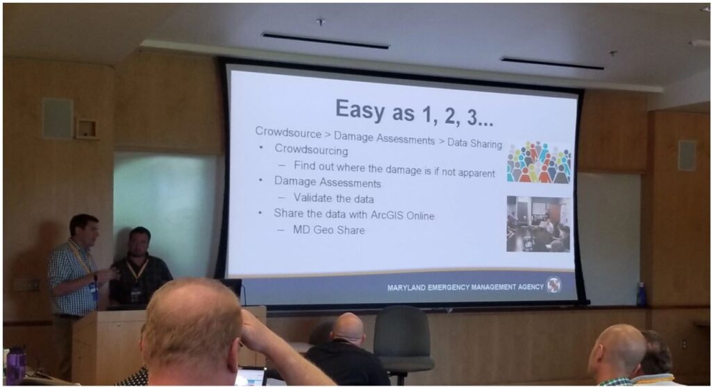
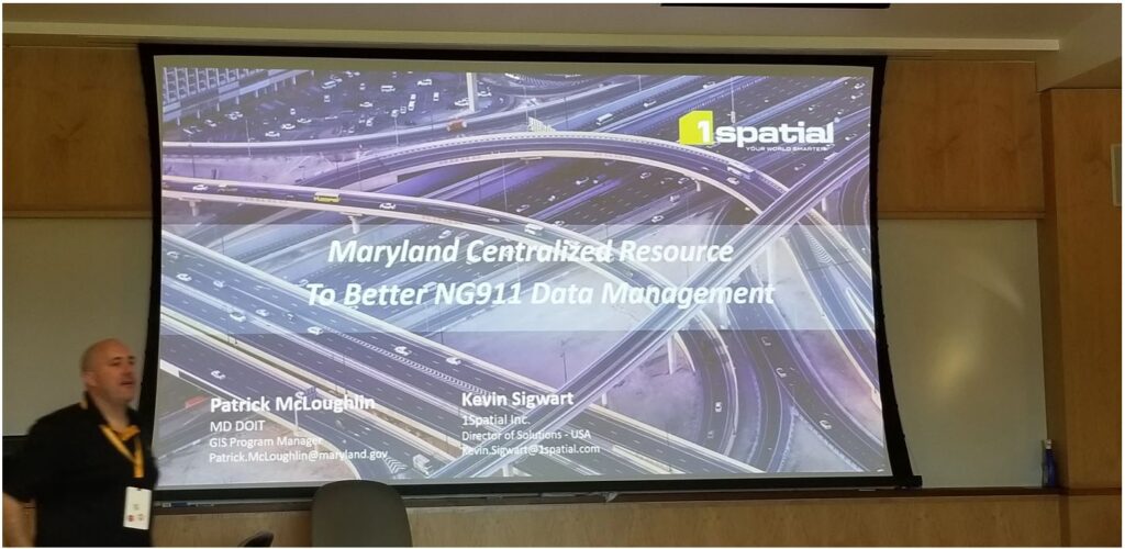
Additional highlights from the conference include leveraging GIS for emergency management, damage assessments, and stormwater management, among many other public safety considerations. “These are no longer the tools of the future, they are the tools for the now” said VPC President Deepa Srinivasan, “staying abreast of the newest technologies and best practices allows us to provide the very best services to our customers.”

For more information on the Talbot County Sea Level Change/Flood Estimates Project call or email us at: info@vision-pc.net or 888-872-9626.