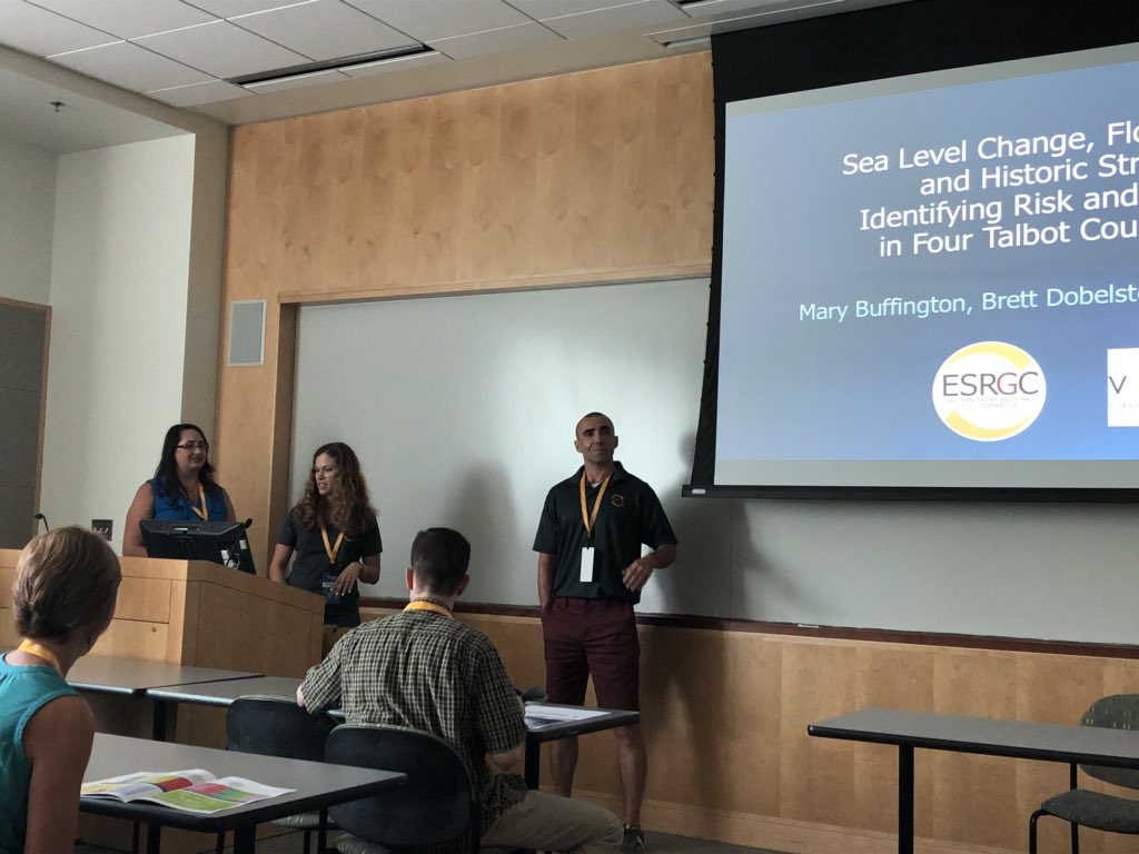
VPC presented at TUgis - Maryland’s Geospatial Conference, at Towson University on Wednesday, August 8th. Our topic, Sea Level Change, Flood Estimates, and Historic Structures: Identifying Risk and Vulnerability in Four Talbot County Villages, was one of only four presentations in the “GIS in our Communities” track. Our case study was conducted in partnership with the Eastern Shore Regional GIS Cooperative (ESRGC), and delivered a comprehensive look at the flood vulnerability of historic and cultural resources in the County’s four villages and to improve resiliency.
VPC’s presentation opened to a packed room. "So many people clustered in the doors that many more hopeful attendees had to be turned away. This was a topic that hit home to many." said VPC presenter Ashley Samonisky.

The presentation described the flood model that identified properties that are most at-risk from the 10%, 5%, 2%, 1%, and 0.2% chance of flood for 2016, as well as from sea level rise for the years 2050 and 2100, which also helped estimate potential dollar losses. While the primary focus of the TUgis conference is of course, GIS, there was still a very high interest in how the GIS analysis and results were used to formulate mitigation actions for the historic properties.
VPC’s part of the presentation discussed how mitigation actions for the properties were selected based on the property type, condition, potential flood hazard, and best practices for preserving historic buildings. As the properties in question are all historic, very careful consideration had to be taken when selecting mitigation actions. “Every action we selected for these properties ensured that the buildings eligibility for the state or federal historic register would not be compromised, and every action was approved by the Maryland Historic Trust.”
Many attendees were interested in what mitigation actions were most useful under what circumstances. Representatives from various Counties in Maryland also attended and asked questions about how involved the local planning office was, whether or not we encountered any opposition from homeowners when conducting site visits, etc.
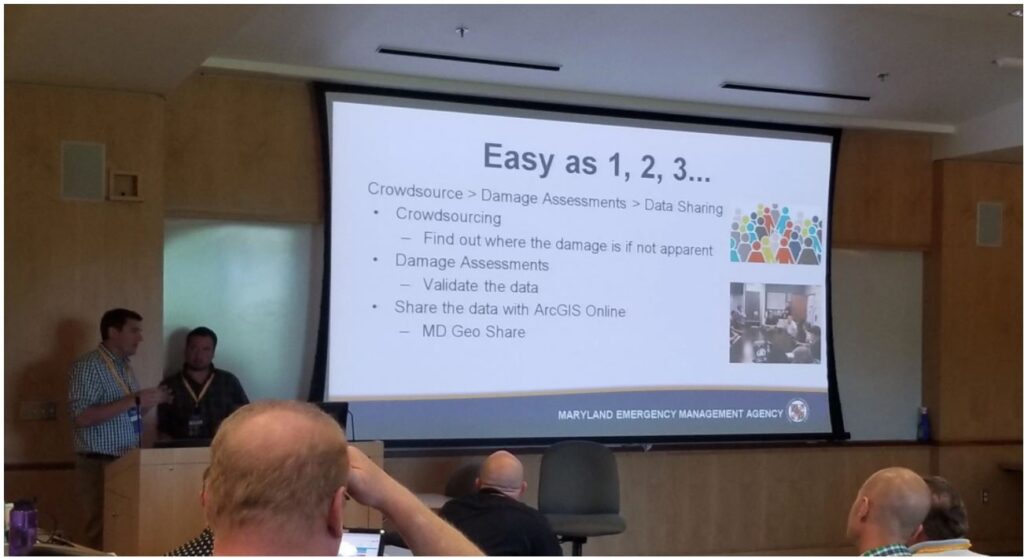
Additional highlights from the conference include leveraging GIS for emergency management, damage assessments, and stormwater management, among many other public safety considerations. “These are no longer the tools of the future, they are the tools for the now” said VPC President Deepa Srinivasan, “staying abreast of the newest technologies and best practices allows us to provide the very best services to our customers.”
For more information on the Talbot County Sea Level Change/Flood Estimates Project call or email us at: [email protected] or 888-872-9626.